Module One Lesson & Overview of Assignment One
Activity 1.1: Garden or Landscape Area (required)
1. Watch this video about sketching your Base Map:
A pdf of this presentation can be found here.
2. Read and complete Step 1 ‘Garden or Landscape Area’ Property Sketch in the Site Assessment for Gardeners workbook.
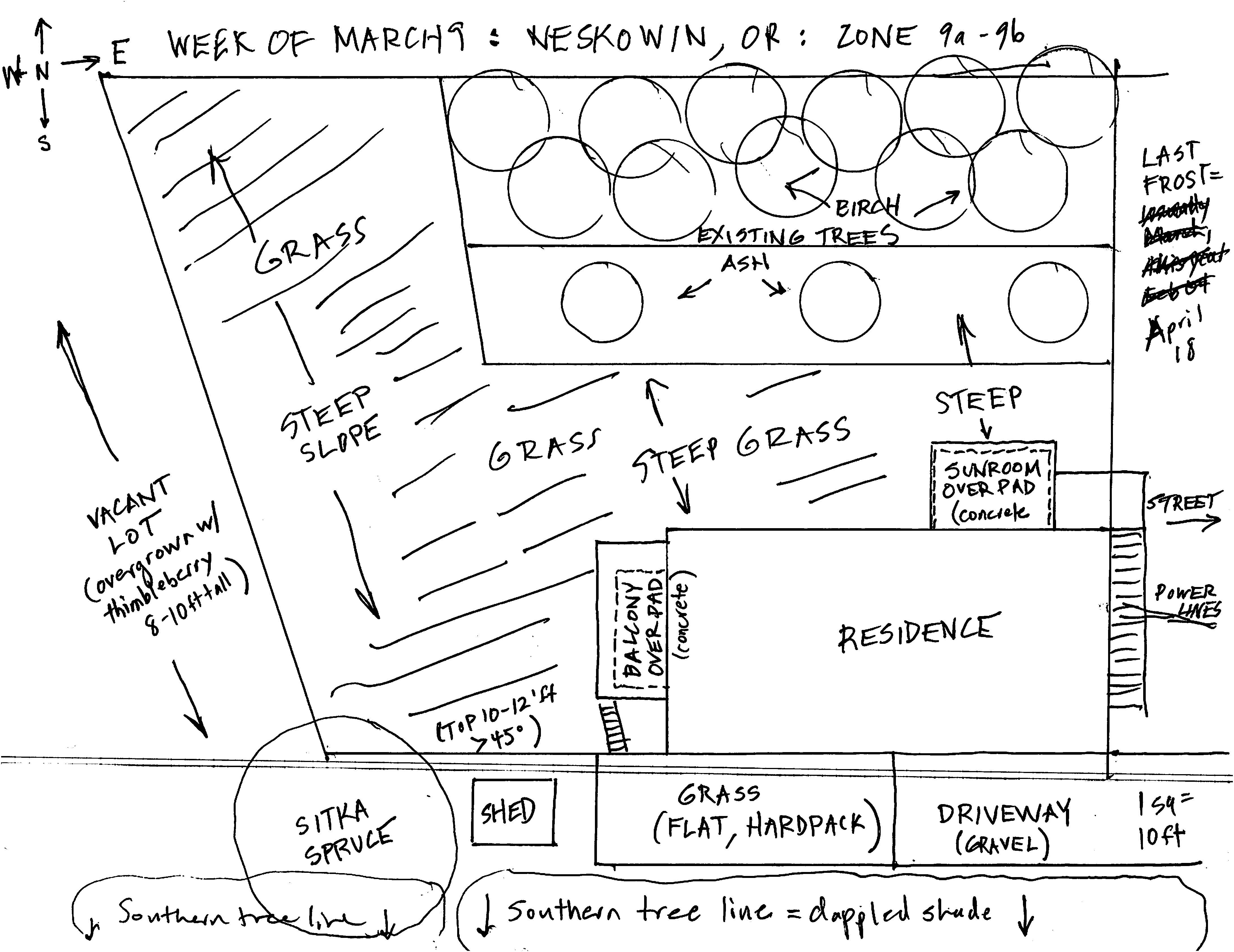
This is a rough sketch of your property that will serve as your Base Map. You can also use a copy of a surveyor's map or Google Map image. If sketching your site and plan to scan for uploading, sketch on a standard 8 ½ x 11” sheet of paper so that it is easy to scan. It is a good idea to photocopy or scan and print your ‘blank’ site plan right after you complete it since you will be making a lot of notes on it and you will be using it to record a second series of observations next week. Also notes tend to overlap and get messy in the field so this way you will have one to copy them neatly onto. Don’t worry about getting your plan perfect, we will develop your plan throughout this course. Simply focus on getting fairly accurate measurements for now; we will spend time drawing for accuracy and scale in a couple of weeks.
→Main Text Relevant reading: Creating a Site Plan (pp 184-189): illustrates how to draft an rectangular or irregular plot using triangulation and drawing to scale.
Slopes
If you have any topography or hills over a few inches on your site, you may want to complete the additional Slope Measuring Step 9 (pg 40-43).This is not a required activity for this course, however recommended because slopes will determine water flow, and will be present in your final project. It may be best to measure steepness now while you are recording other measurements.
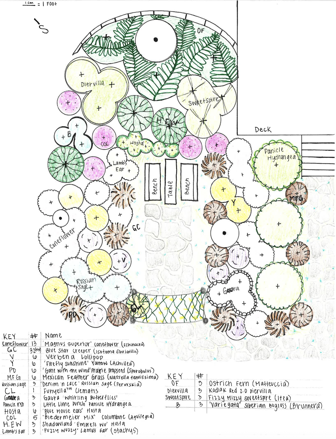
KeysIt is a good idea to include a key on this and any other maps and drawings. This helps your instructor and understand the symbols you are using, and is helpful for you in the future when you are ready for installation.